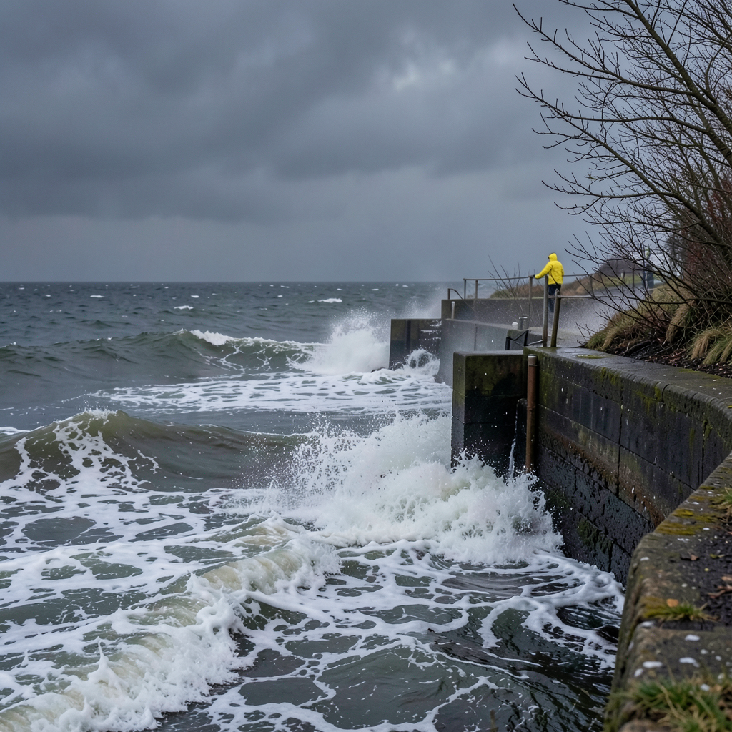

A weather alert covering much of southern Britain has been released as the inaugural named tempest of the meteorological year approaches.
Forecasters predict Storm Austen will generate powerful gusts across multiple regions, with coastal areas potentially experiencing the most intense conditions.
The yellow warning spans from midnight to midday on Friday, October 23, encompassing south Wales, most of south-west England, and extending along the southern coastline to Brighton.
Exposed coastal locations could see wind speeds reaching 70mph, while inland areas are expected to experience 50-60mph gusts.
Deputy chief forecaster Tom Crabtree indicated that while the precise trajectory remains uncertain, significant disruption appears likely, prompting the naming decision.
The Met Office’s annual naming cycle runs from September through August, with alphabetical designations assigned to successive Atlantic weather systems.
The current list progresses from Austen through Wende, deliberately excluding Q, U, X, and Z per international meteorological protocols.
The naming scheme involves collaboration between the UK, Irish, and Dutch national weather services.
Met Éireann nominated the initial name, commemorating Austen Nagle, the organisation’s founding director.
Evelyn was chosen to recognise Evelyn Murphy’s pioneering role as the first female weather presenter on Ireland’s national broadcaster.
Public submissions have contributed additional names, with Chloe accumulating more than 130 nominations from members of the public.
Storm naming commenced during the 2015/16 season.
Historically, no alphabetical sequence has extended beyond L in any single meteorological year, with 2023/24 reaching that letter.
Recent seasons have seen fewer named storms, with four systems designated in 2025/26.
Head of warnings and guidance Holly Clements noted that naming conventions have proven effective in helping communities understand potential impacts and take appropriate precautions during severe weather events.