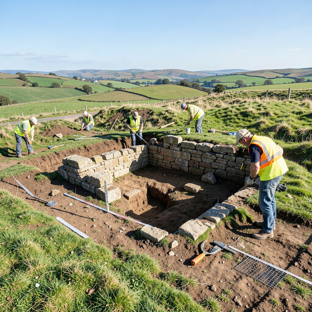

Archaeological investigations in north Pembrokeshire have uncovered evidence of a Roman military installation that may provide insight into a medieval Welsh legend.
The research, conducted over several years, points to the existence of an auxiliary fort near Crymych that aligns with geographical references found in ancient literature.
The investigation traces its origins to 2002, when a Roman villa was identified approximately 30 kilometres to the southwest of Wales.
This property had initially been documented in the early 1800s by Richard Fenton, a regional antiquarian.
Scholarly doubts regarding Fenton’s accuracy have persisted, largely stemming from the long-held assumption that Roman presence did not extend into western Wales.
The subsequent excavation of the villa prompted broader questions regarding Roman infrastructure in the region.
Sir Mortimer Wheeler had examined a comparable site along the same geographical latitude in 1922, suggesting the possibility that both locations were positioned along a Roman thoroughfare.
Fenton had previously documented a segment of Roman road within the Vale of Whitland, which underwent archaeological examination in 1995 prior to road construction.
Additional Romano-British sites have emerged since Wheeler’s research, including an auxiliary fort at Wiston near Haverfordwest, investigated during 2012 and 2013.
In 2024, distinctive earthworks were identified near Crymych, exhibiting the rectangular outline characteristic of Roman auxiliary forts.
The enclosure spans approximately three hectares, with one corner having been lost to modern development as the village expanded.
A water channel enters the southern perimeter through a stone-constructed conduit, indicating the presence of Roman engineering for water supply.
The configuration lies alongside the A478, a road that maintains a direct course through this section, though the alignment becomes discontinuous in certain areas, a common feature of ancient Roman roads.
Geophysical analysis conducted in October 2025 revealed the presence of two rectangular structures positioned within the earthwork enclosure.
Subsequent trial excavations took place in March and July of that year, yielding numerous artefacts including coins, gaming pieces, ceramic items and textile-production implements.
A more extensive excavation was subsequently undertaken to definitively establish the site’s military function.
The discovery prompted examination of potential connections to Welsh literary tradition.
The Mabinogion references Cadair Maxen, the encampment of the late fourth-century emperor Magnus Maximus, known in Welsh as Macsen Wledig.
The narrative situates this figure on Frenni Fawr, the easternmost summit of the Preseli Hills, which overlooks the newly identified site from approximately three kilometres to the northeast.
No visible traces of a Roman marching camp exist on Frenni Fawr at the location described in the tale.
Excavation work commenced in September with the opening of five trenches.
Three were positioned over anticipated principal structures, including the commanding officer’s residence and storage facilities.
One trench targeted the northern section where a surrounding road would be anticipated, while a fifth was located on higher ground where remote sensing had indicated a trackway.
The initial trenches exposed the foundations of clay-based floors containing fragments of thin stone blocks, many showing disturbance from prolonged agricultural activity.
Within the second trench, stones arranged diagonally suggested a subsequent phase of civilian occupation following the military period.
Substantial pottery fragments were recovered, alongside evidence of a kiln producing Roman roof tiles.
The third trench yielded a clay floor consistent with granary construction.
The fourth uncovered remnants of a defensive rampart foundation and a road surface beneath the modern plough zone, complete with wheel rut impressions.
The fifth trench confirmed the presence of the anticipated trackway.
Although definitive dating remains pending, pottery fragments with apparent Roman characteristics were retrieved.
Additional discoveries at the location included a lead spindle-whorl, an iron stylus suitable for inscribing wax tablets, a woodworking implement, a gaming token, a third-century coin and two fourth-century examples.
The combined evidence indicates the site functioned as a timber-built auxiliary fort, likely founded during the military campaigns directed by governor Sextus Julius Frontinus in the period spanning AD 74 to 78.
The findings suggest a tangible link between the legendary encampment of Magnus Maximus described in medieval literature and the archaeological remains brought to light through contemporary research.
The earthworks remain discernible at present, positioned almost certainly alongside a significant Roman road, and would have been considerably more prominent during the fourth century when such sites featured in official records.
The discovery illustrates how mythological accounts frequently contain historical foundations, with folklore often preserving genuine recollections of past events.